BACKGROUND
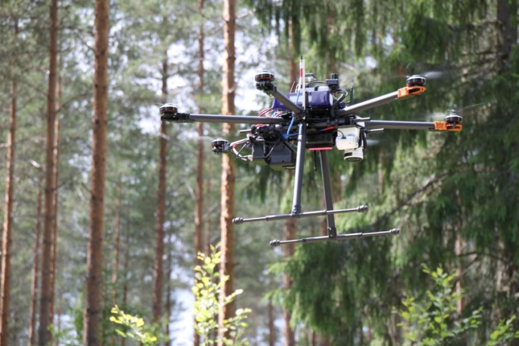
Remote sensing technology based on small unmanned airborne vehicles (sUAS, sUAV, drone, RPAS) is developing explosively. The application potential is nearly unlimited, including land surveying and topographic mapping, sustainable built environments, precision agriculture and forestry, water quality monitoring, environmental impact assessment, energy network monitoring, infrastructure applications, law enforcement, safety, and science and education, and many more.
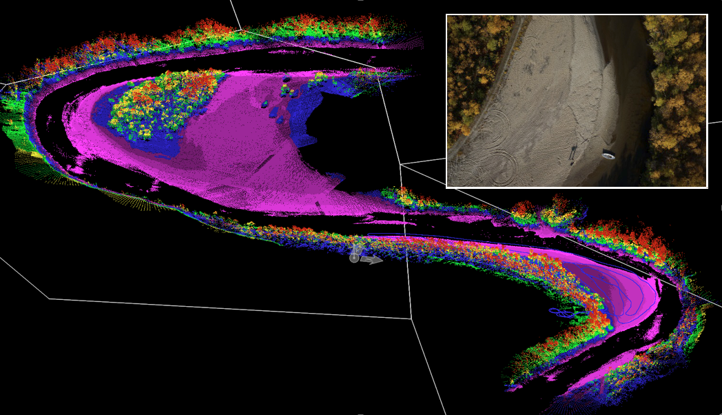
DroneFinland is a research and innovation center for drone remote sensing. We think that powerful sensors as well as accurate and efficient processing and analysis chains are the fundamental basis of drone remote sensing. Scientific and technical expertise of our group covers photogrammetry, laser scanning, radar technology, and hyperspectral imaging and measurements


Our objectives
- Scientific research
- Development of new sensor technology and integrated sensor systems
- Development of automatic methods for data processing and analysis
- Drone metrology, calibration and validation aspects
- Demonstration of the use of drones, novel sensors and intelligent analysis in different applications
- Making scientific, industrial and societal impacts in co-operation projects
- Technology transfer to companies
- Knowledge distribution
Vision
Drones play a pivotal role in promoting well-being and safety. With their superior visual capabilities, they can perceive details that surpass human eyesight, detecting potential hazards and anomalies earlier. Beyond mere observation, drones have the potential to revolutionize various domains by augmenting or even replacing human labor. For instance, they enhance safety protocols, optimize resource allocation, and improve cost-effectiveness. Drone remote sensing serves as the bedrock for future advancements in digitization, automation, and robotics, paving the way for a more efficient and interconnected world.


